Kearney County Land for Sale
232.57+/- ACRES
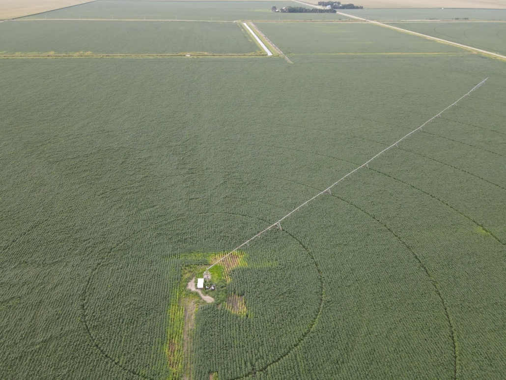
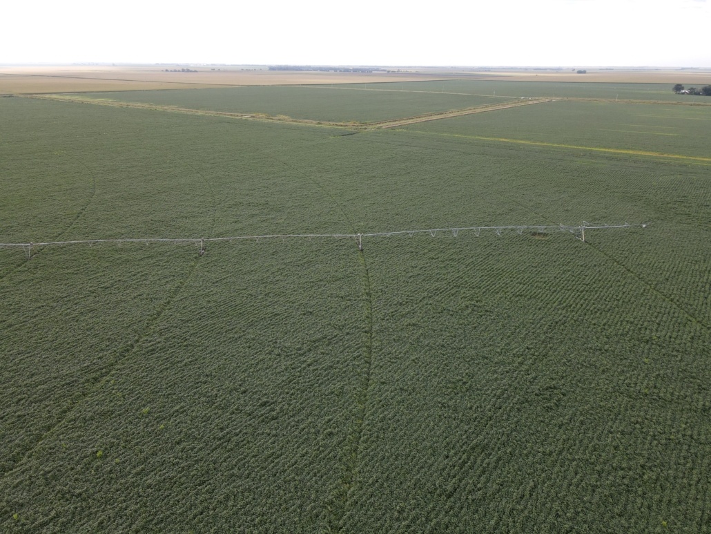
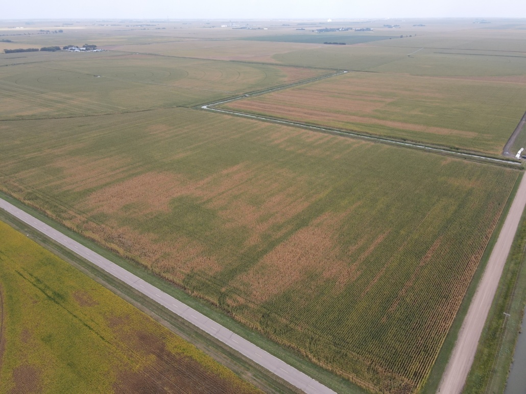
PIVOT IRRIGATED FARM
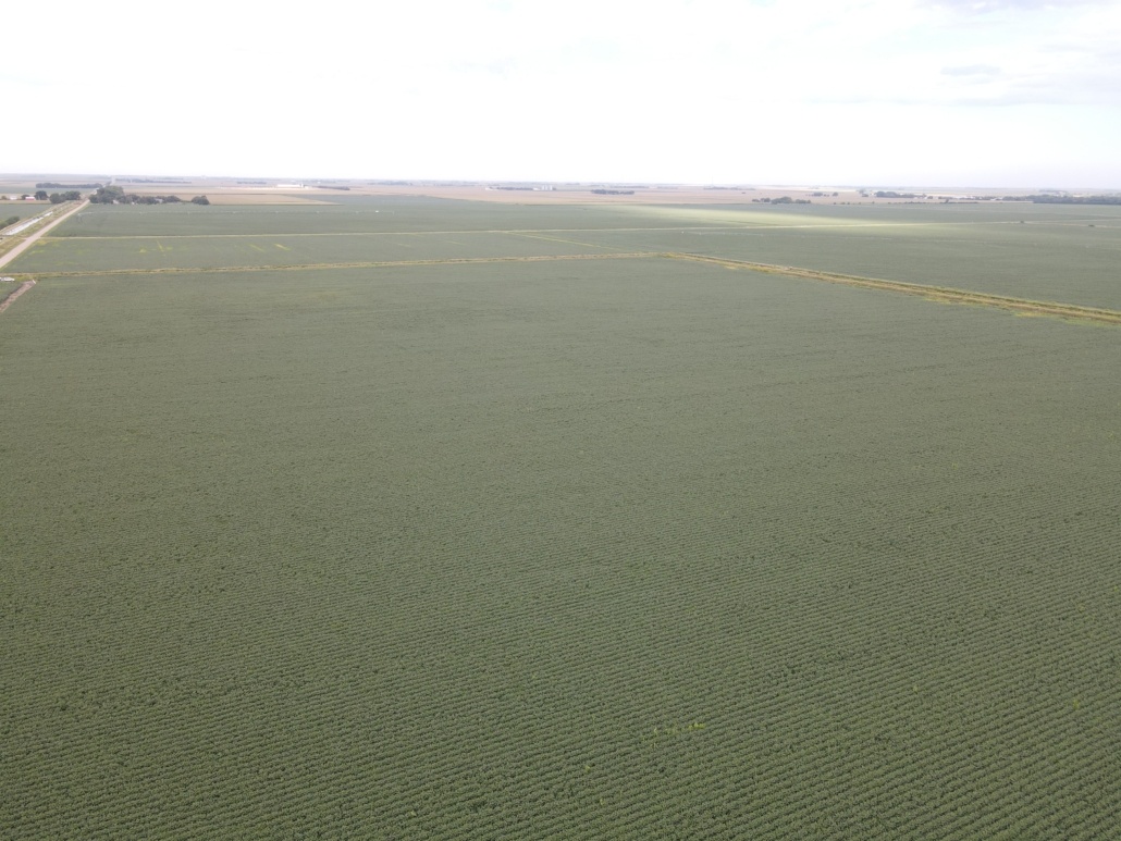
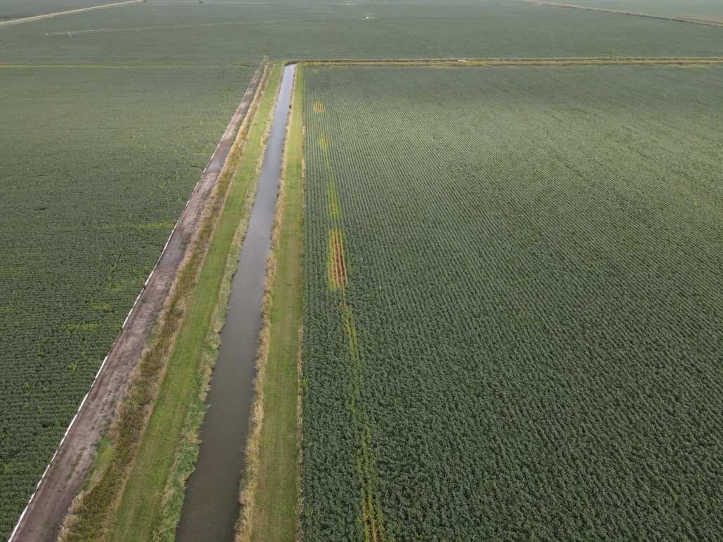
GRAVITY IRRIGATED FARM
212+/- ACRES IRRIGATED
130+/- UNDER PIVOT
CLASS I SOILS
LOCATED SOUTH OF AXTELL, NE
Property Details
232.57+/- ACRES PIVOT IRRIGATED FARM GRAVITY IRRIGATED FARM 212+/- ACRES IRRIGATED 130+/- UNDER PIVOT CLASS I SOILS LOCATED SOUTH OF AXTELL, NE
Opportunity to purchase a combination pivot irrigated and gravity irrigated farm south of Axtell, NE. The farm consists of approximately 212 acres of irrigated cropland. There are approximately 130 acres under pivot with the balance in gravity or dryland corners. The pivot and irrigation equipment are owned by the tenant and do not go with the sale of the property.
LEGAL: The Southwest Quarter (SW4) and the South Half of the Northwest Quarter (S2NW4) of Section Twenty-Seven (27), Township Six (6) North, Range Sixteen (16) West of the 6th P.M. in Kearney County, Nebraska.
LOCATION: From the south edge of Axtell go via highway 2.0 miles south on 23 Road to H Road.
2022 Real Estate Taxes: $12,249.80
SOILS: Primarily Holdrege silt loam (Class I soil) and some Detroit and Butler silt loam.
FSA INFORMATION: FSA Farmland Acres – 230.11 acres Cropland Acres – 227.93 acres Base Acres – 217.40 acres *Corn: 182.5 acres/PLC yield 184 *Beans: 34.9 acres/PLC yield 57
WELL/IRRIGATION INFORMATION: Well #G-130835 drilled 10/22/04, 800 gpm, 40’ static level, 80’ pumping level, 120’ pump depth, 210’ well depth Surface Water Information: 213 acres Located in the Tri-Basin NRD with 212.9 certified irrigated acres.
SCHOOL DISTRICT: Axtell
ZONING: Agricultural
POSSESSION: Possession at closing.
See Links to Informational Maps Below: Aerial_Map Area Map Topography_ Contours Soils_Map 4_Year_Crop_History